Image not by me
私のイメージではない
私のイメージではない
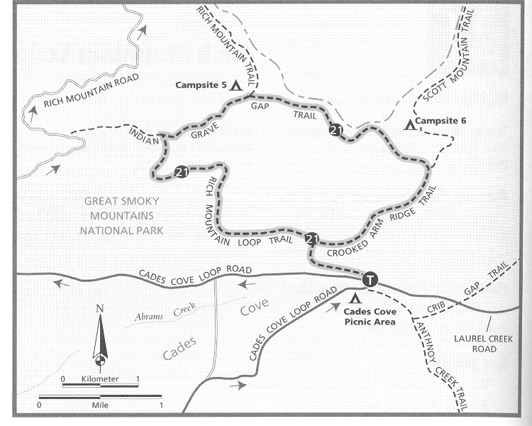
This entry is about a short hiking trip I went on at the beginning of the summer this year. I took many pictures, but alot of them came out bad because the camera I was using is old and is starting to wear out. The pictures below are a few of the ones that came out well.
この書き込みは今年の夏の始まりに短いハイクのことです。多く写真を撮りましたが、その写真の中で悪いのが数々でした。それは使っていたカメラが古くなって来ているからで、使い古して始めるのです。以下はいい写真の中から選抜です。
この書き込みは今年の夏の始まりに短いハイクのことです。多く写真を撮りましたが、その写真の中で悪いのが数々でした。それは使っていたカメラが古くなって来ているからで、使い古して始めるのです。以下はいい写真の中から選抜です。

Looking South across the cove.
南にコーヴの向こうを見る。
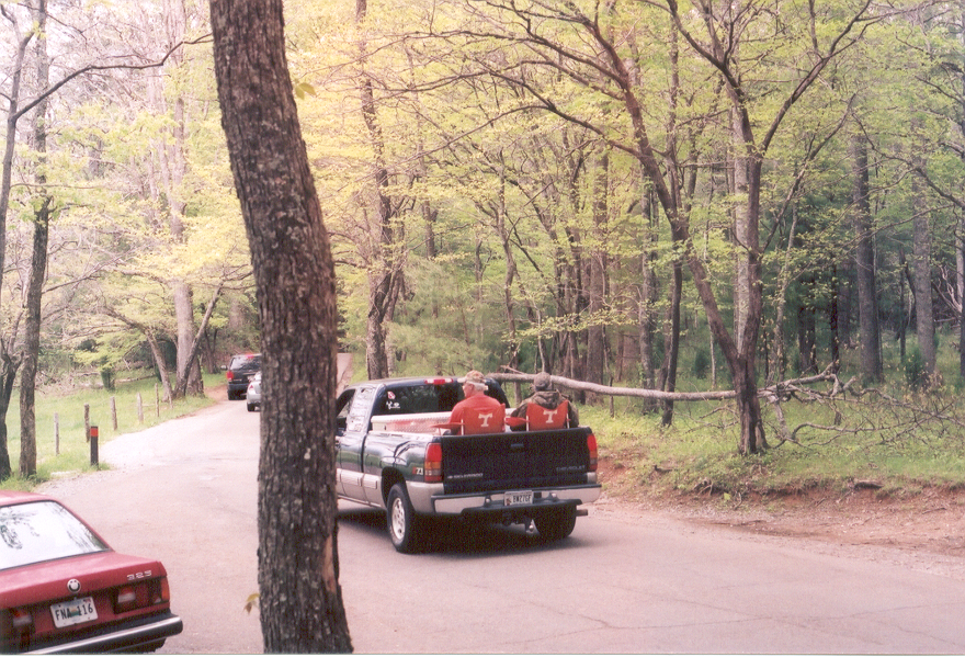
Redneck Guided Tours: Many people ride on chairs in the back of trucks along Cades Cove Loop Road.
レッドネックに導かれる観光旅行(笑):ケーデゥズ・コーヴ・ループ・ロードをトラックの後ろにあるチェアに座って乗る人が大勢。

Looking north through Cades Cove towards the Rich Mountain Loop trailhead
北にケーデゥズ・コーヴの向こうにあるリッチュ・マウントン・ループ・トレールの地方を見る。

A small creek that runs through Rich Mountain Loop Trail
リッチュ・マウントン・ループ・トレールを横に流れる小さいな川。

John Oliver Cabin (Built in 1817/1818) : The cabin of the first white settlers in Cades Cove.
ジョン・オレヴァ・キャビン(1817・1818年に建った):最初にケーデゥズ・コーヴに住んだ白人の開拓者のキャビン。
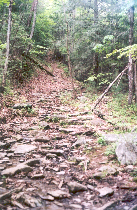
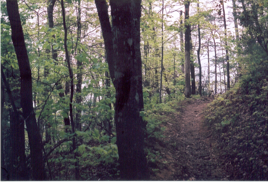
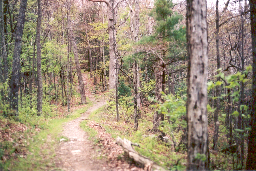
The point where the trail started to get a little steep.
トレールが険しくして始めた所。
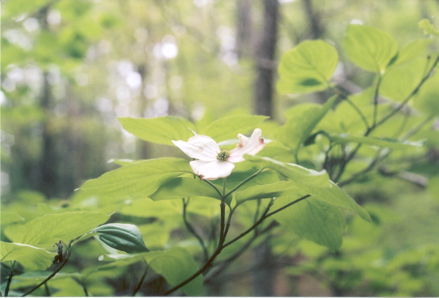
A blooming dogwood.
咲いているアメリカヤマボウシ
The trail is still going up.
トレールがまだ上に行っている。
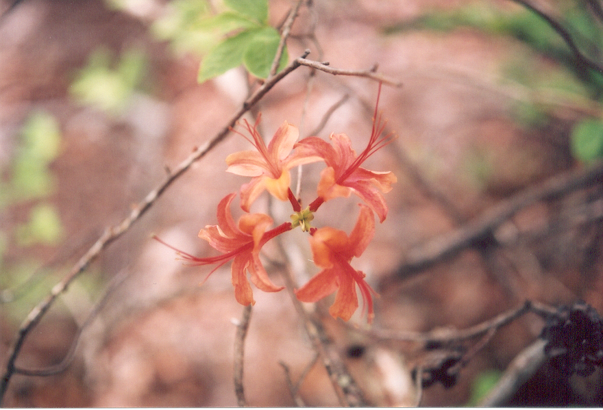
Some flowers I found growing slightly off the trail that were growing in groups of four.
少なめのトレールに見つけた四つで増している花。
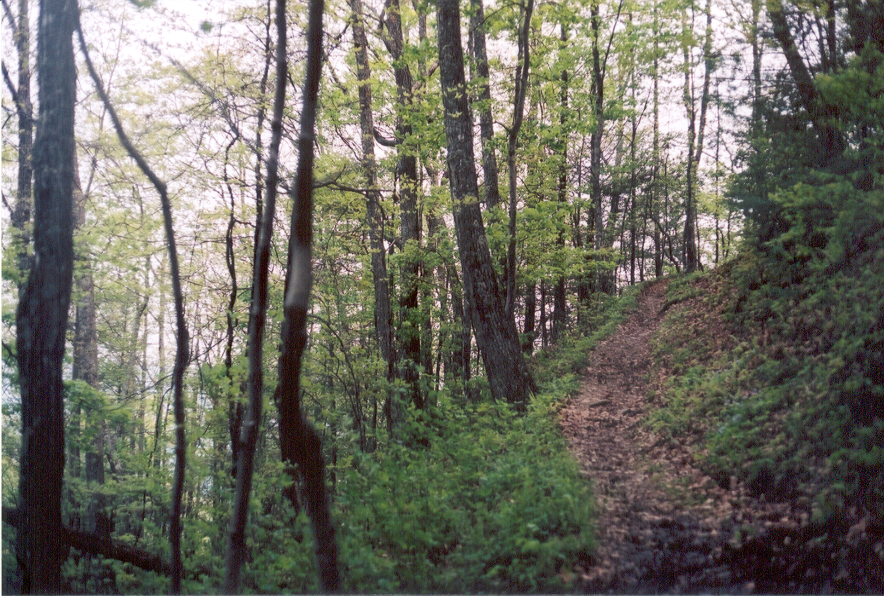
The trail is still going up.
トレールがまだ上に行っている。
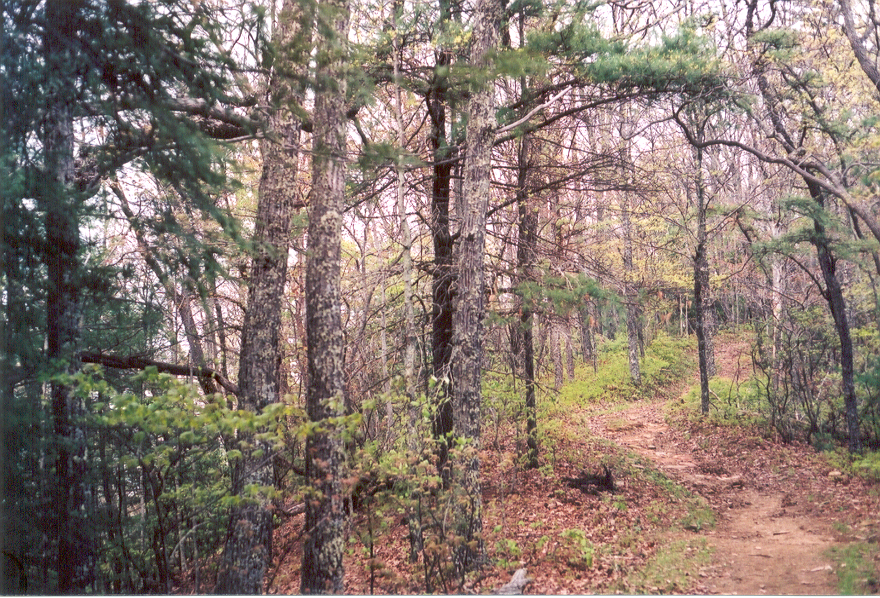
Still going up, close to the ridge.
峠から近く、まだ上に行っている。
(Grave Gap Trail) The trail curves to the right. The path to the left leads up to the sumit.
(グレーヴ・ガップ・トレール) トレールは右へ反らす。左にあるパスは山頂の上に通じる。
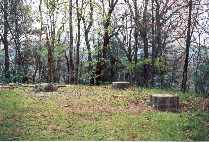
The sumit of Rich Mountain. The foundation in the picture is from an old fire tower.
リッチュ・マウントンの山頂、写真に見える土台は古い火の見からです。
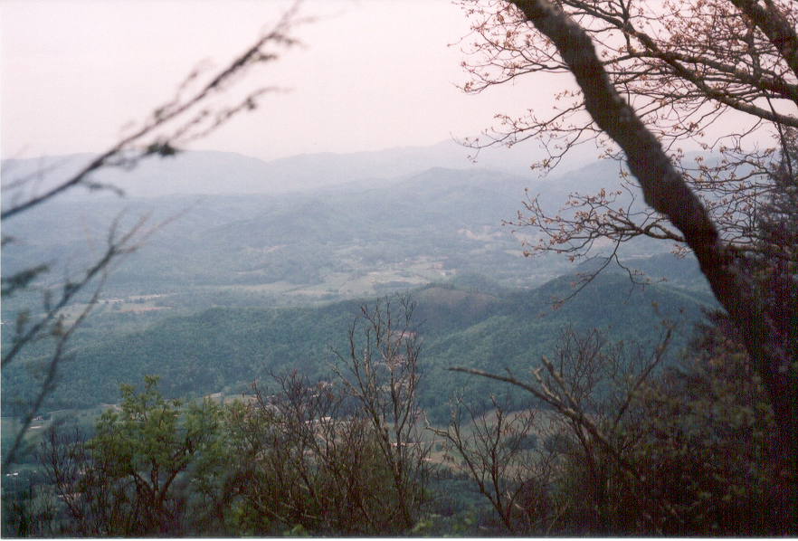
Looking north out of the park on the ridge.
峠から、パークの北の外を見てる。

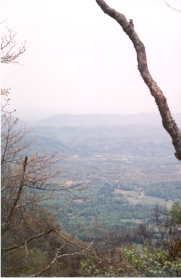
Looking north out of the park on the ridge.
峠から、パークの北の外を見てる。
Looking north out of the park on the ridge.
峠から、パークの北の外を見てる。
0 件のコメント:
コメントを投稿